

When do you need a Feature/Topographic Survey?
- It is the starting point when planning a new construction project or land development
- Councils, architects, engineers and builders use site surveys to assist in building applications, landscaping designs and subdivision proposals/approvals
- A professionally drafted plan records the important features of a property
- A successful project requires an accurate, informative and well-presented plan
- To enhance a Utility Survey with important site features.
What the Feature/Topographic Survey produced by Abaxa offers
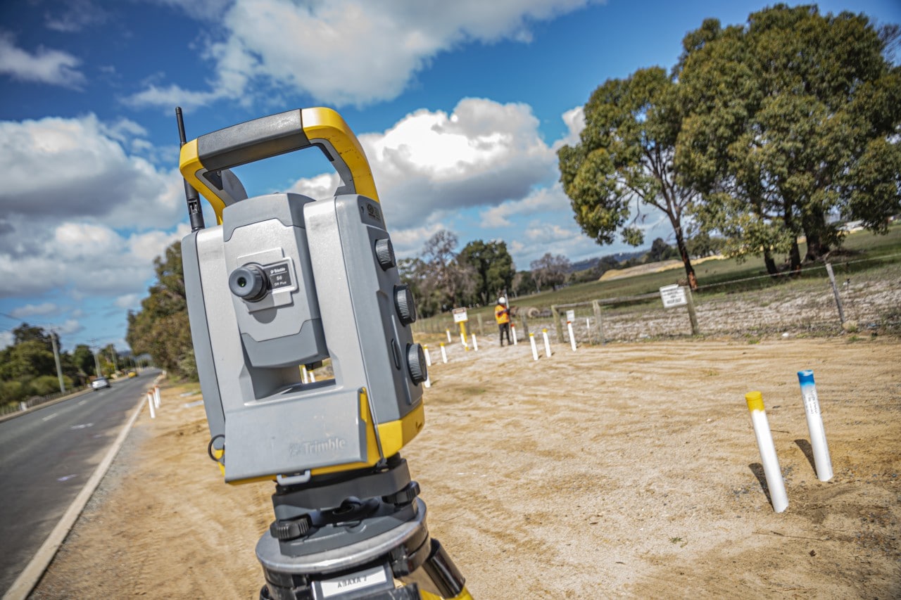
- Survey pickup to your specified coordinate system, PCG 94, MGA zone 50, etc.
- Survey contours at 0.5m intervals (or as specified)
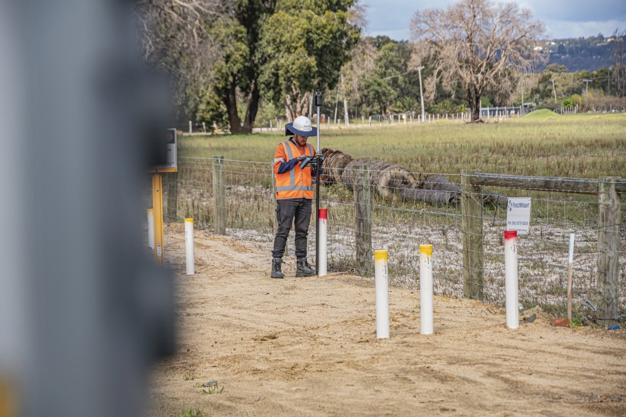
- Survey all Utilities to AS5488 standard
- Building footprint and floor levels
- Street and verge features (crossovers, kerbs, footpaths, etc.)
- Location of trees and vegetation.
- Fences and walls (type, height and condition)
- Boundary information and easement
- Other existing structures and infrastructure as specified
- Survey coordinates in the form of a DWG. file derived from the latest AutoCAD Civil 3D program
- Survey coordinates overlaid onto high resolution Nearmap imagery (see sample attached for reference).
Professional deliverables in 12D/AutoCAD/DXF formats (Raw Data, Professional DWG plans and PDF version)
Survey Plan PDF – Feature overview – See Sample Report (feature overview)
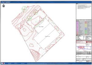
Survey Plan PDF – Feature Overview with Utility Survey (Utility Survey to AS5488) – See Sample Report (Utility and Feature Overview)

Additional and optional features items include:
- The option to include Main Roads Genio file and MRWA UUS Survey Standard 67-08-121
- The option to use standard or your own specific survey design codes and guidelines
- As-built surveys can be completed at project completion to show the dimensions and level of structures.
Add value feature/topographical survey with utility survey to AS5488.
Did you know engaging Abaxa in early-stage planning can save up to 82% in project costs?
The onsite markings from utility locating may not last on some active construction sites due to excavations, weather and surface changes including mowing lawns, new construction or just being driven over by site traffic. Also, ground levels change frequently on most construction sites, which can change the depth of underground utilities. By surveying the elevation of underground assets, the depth can always be determined, even when the ground levels change as the project progresses.
Establishing clash points or the potential movement of critical utilities during the design stage of a project cannot be left to chance. That is why a full underground utility survey should be completed for systematic accuracy when making critical decisions around critical assets.