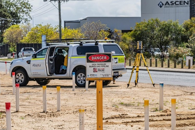
Surveying is an essential part of every construction project and provides crucial information for project planning and execution. Among the various types of surveys offered is a feature survey (also known as a topographic survey). A feature survey plays a critical role in the initial stages of construction and helps all parties understand the physical characteristics of a site. Without a feature survey, projects have the potential for cost blowouts or delays.
Let’s explore more about the importance of feature surveys for construction sites in Perth.
Understanding the Nature of Feature Surveys

What is a Feature Survey?
A feature survey involves a comprehensive assessment of a construction site’s physical attributes. Skilled surveyors meticulously map the site, identifying and documenting natural and man-made features such as trees, buildings, roads, utilities, fences and boundaries. This survey provides valuable information about the site’s contours, height, slope and other relevant factors that contribute to the overall site’s characteristics.
The Purpose of a Feature Survey
The primary purpose of a feature survey is to gather accurate data about the existing features of a site, allowing construction professionals to make informed decisions during the planning and design phases. By understanding the site’s topography and existing structures, construction teams can optimise their processes, ensure design accuracy and mitigate potential risks.
The Key Benefits of Feature Surveys

Integration of Existing Features
One of the fundamental benefits of a feature survey is the ability to integrate existing structures seamlessly into the project’s design. By mapping and analysing the location and dimensions of buildings, fences, trees and other elements, construction professionals can align new structures with the site’s current features, maximising functionality and visual harmony.
Accurate Boundary Determination
Precisely determining the boundaries of a construction site is essential to avoid potential legal disputes or encroachments. A feature survey provides accurate information about the site’s boundaries, enabling project managers to plan and execute construction activities within the defined limits. This knowledge ensures compliance with local regulations and minimises the risk of boundary-related conflicts.
Compliance with Easements and Rights-of-Way
Certain construction sites may be subject to easements or rights-of-way, which must be considered during the design and construction phases. A feature survey aids in identifying these elements, ensuring compliance with legal requirements and minimising any disruptions to the project’s progress. By understanding and accounting for these factors from the outset, construction teams can avoid costly modifications later in the project.
Enhanced Design Accuracy
Accurate data from a feature survey is crucial for ensuring design accuracy. By incorporating precise information about the site’s topography, existing structures and other relevant features, architects and engineers can optimise their designs to fit harmoniously within the site’s context. This reduces the likelihood of conflicts or clashes during the construction phase, streamlines the building process and enhances the overall efficiency of the project.
The Role of Feature Surveys in Mitigating Risks
Identification of Site Constraints
A thorough feature survey helps identify potential site constraints that may pose risks to the construction project. These constraints could include steep slopes, unstable ground, drainage issues or other hazardous conditions. By understanding and addressing these risks early on, construction teams can implement appropriate mitigation strategies, ensuring the safety and stability of the site throughout the project’s lifecycle.
Optimisation of Earthwork and Grading
Accurate data obtained from a feature survey enables precise calculations of earthwork volumes and aids in optimising grading plans. By understanding the site’s topography, surveyors can identify areas that require cut or fill, helping project managers plan the most efficient earthmoving operations. This optimisation not only reduces costs but also minimises environmental impact and improves overall project scheduling.
How to Choose Surveying Services in Perth
When seeking surveying services in Perth, it is crucial to engage a reputable and experienced surveying company. Abaxa’s team of experienced surveyors will carry out all work to the highest standard to ensure your project moves forward with minimal risk or delays.
To enquire about a feature survey for your next project, contact Abaxa.