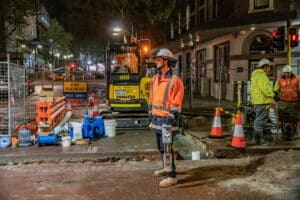
If you’re undertaking any type of excavation or preparing a new worksite, there’s one essential task you need to employ before any dirt is disturbed – a subsurface scan.
Using advanced technology, like a ground penetrating radar, major sub terra utilities can be detected and mapped. Knowing the location of underground utilities will not only speed up the construction process, it’ll also help you avoid any costly delays.
But why would you employ someone to carry out subsurface checks when physical records of underground utilities already exist? The problem – inaccuracies.
Relying on old positioning records is fraught with danger. You’re essentially taking a gamble and hoping that everyone involved in any prior construction or excavation has carried out accurate mapping. If that gamble doesn’t pay off, you could end up with major costs and delays.
What can a Ground Penetrating Radar Detect?
While we often talk about GPR’s detecting utilities like electrical cables and water pipes, there are other issues that a GPR can help you avoid. Any irregularities in the ground strata, any voids or air pockets can also be picked up with a GPR.
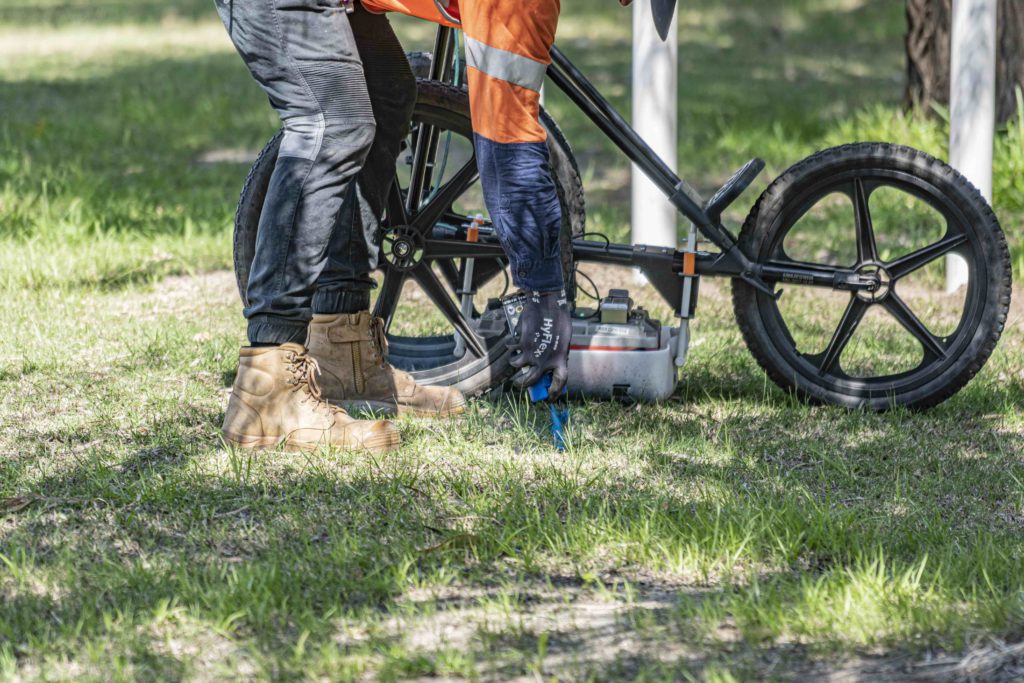
It is important to note that when conducting a subsurface scan, a GPR is one of many tools that is used. For example, an operator may also use a cable locator to pick up electromagnetic signals from underground cables.
Each tool has its strengths – a GPR is ideal for plotting images whereas a cable locator can tell you what type of connection the cable has. Using multiple tools together will greatly reduce the risk of missed utilities.
Some of the most common objects detected with a GPR include:
- Metal
- Concrete
- Plastics
- Irregular ground structure
- Voids/Air Pockets
- Gravesites
How to Conduct a Subsurface Scan
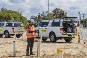
There are two essential elements to a successful subsurface radar search. The first is the technology and the second is the operator. Without both working together, you may miss detecting vital utilities.
Technology
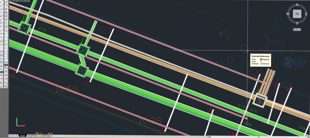
A good GPR should have extended, multi-channel width capability. This gives you faster, more reliable data. Radars operate on a variety of frequencies. Normally, the lower the frequency the larger the radar. Choosing the right radar, and a suitable antenna, all depends on the type of object you are looking for and the depth of the object. A GPR machine, like the one used by Abaxa, will also provide you with 3D imaging. With 3D images, you’ll be able to detect the general width, length and trajectory of the underground object.
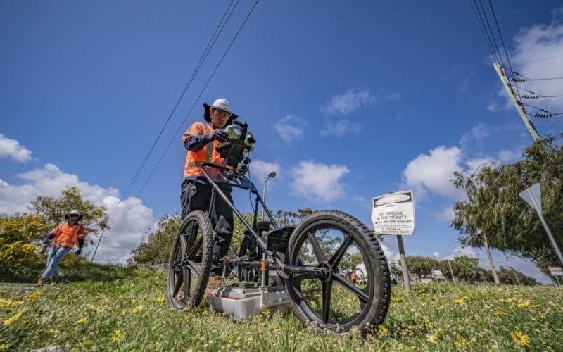
Experienced Operator
A 3D Ground Penetrating Radar is a highly technical piece of equipment. It requires skilled personnel to operate it and interpret the data. After assessing the area, your operator will help you make effective decisions about survey design, frequency selection and what depth you can safely operate at.
Misconceptions About Ground Penetrating Radar
Anyone can operate a GPR
As we’ve mentioned, a Ground Penetrating Radar is highly sophisticated equipment. People often think that the machine will do all the work – that’s not the case. While a GPR does give you an accurate radar reading, it won’t show clear images of the subsurface. Only a highly trained operator can interpret the data correctly.
The GPR will tell me what the object is
Unfortunately, a GPR cannot distinguish between objects that appear the same length and width. A conduit, rebar or cable may show up very similar on the readout. Only a trained operator will be able to analyse the data and classify each object.
A GPR can detect underground utilities at any depth
While there have been major improvements in GPR technology over the last few years, there is a limit to how deep a GPR can measure and what surface it will work on. Ground types like clay and rock can be almost impossible to get a reading on. This is vital information to know – an unskilled operator may consider no reading to mean no underground utilities are present. That’s not always the case.
To get the most accurate subsurface assessment of your construction site, you need to employ experienced GPR operators. For 30+ years, Abaxa has been providing radar scanning services to Perth businesses and developers. Employing the 3 Degrees Safety System, Abaxa will help you plan your project efficiently so that you can finish on time and on budget.
If you have an upcoming excavation or construction project, contact Abaxa today.