Project Description
The project was a preliminary design investigation to identify a route corridor for a new transmission line from a primary substation. At this design stage, the project required a utilities survey model to identify a viable and economical route and provide cost estimation for construction. Abaxa approached this challenge through active collaboration with our client to find a solution option to meet this brief including providing a detailed model with minimal budget funding at the preliminary design stage.
The project was managed through 5 phases, Phase 1, the Abaxa technical delivery specialist consulted with the client to educate on the limitations of the various geophysical locating equipment and then recommendation of an approach to obtain the required information at the allocated budget through an agreed refined methodology.
Phase 2 involved further technical discussion and collaboration with the client on critical points of utility data collection that where required which led to alignment adjustments at the desk top assessment and changes in scope and utility point positioning to provide reductions in cost including traffic management and labour after-hours timing to manage the project to the agreed budget allocation.
The project was approved to proceed, Phase 3 included procurement and extensive planning for the project mobilisation and program delivery. Extensive planning was required for the project including traffic management planning and approvals, arranging local government access approvals, uniquely across 2 local government councils for obstruction access permits, including letter notifications to the public for the project awareness. Utility Duty of Care notifications and permit arrangement, and finally an extensive Safety, Health, Environment Management Plan with full risk assessment and client approval, underpinned by Abaxa Integrated Management Plan to ISO accreditation.
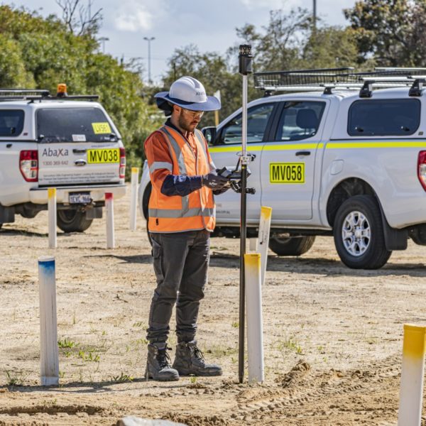
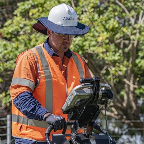
At Phase 4, the Abaxa project team mobilised to the site to commence the technical investigation including utility location to AS5488 QLB, utility pothole designation using non-destructive vacuum excavation to AS5488 QLA and a full Utility Survey pick up, providing a full utilities CAD Dwg model to AS5488.
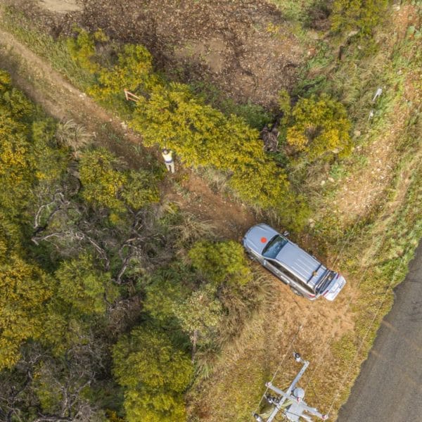
The field locating and designation was challenging as the route selected was already congested with many major utilities and many unknown services being in the East Perth historical area in Perth CBD. The location team used advanced techniques to combat electromagnetic bleed with the number of electrical cables in the clearance area.
An initial AS5488 QLB identify and locate process was completed and then a project collaboration with the client to identify the critical points that would enable the design to be meaningful for the utility survey model, design intent and also deliver to the specified the budget.
The project was managed actively on-site by the assigned project manager to ensure public safety and site safety, subcontractor management and the project moved to program.
At the completion of the project, Phase 5 involved a detailed handover meeting with the client to present the detailed report including a utility risk assessment and summary of safety records, utility permits and diary records.
Results
- Zero Safety Issues
- Zero Utility Incidents
- Delivered to Client Timeline with extensive planning and council liaison/permits
- On-Time
- Under Budget
- Meet advanced safety standards – congratulated on the alignment of SHEMP to the client and communication actively daily to this standard.